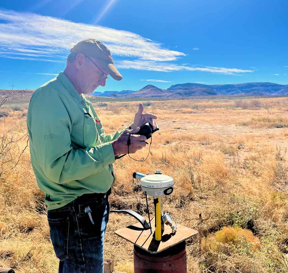
Dr. Kevin Urbanczyk conducts groundwater monitoring field work.
Water may be the most important resource in West Texas, but much of it remains hidden from view.
Beneath the ranchlands, mountains and desert valleys of the Trans-Pecos, groundwater moves through a complex network of aquifers, fractures and underground pathways. Understanding where that water comes from, how it moves and how it changes over time is essential to protecting springs, sustaining communities and informing future water management decisions.
That’s why the Meadows Research Institute for West Texas Water is working to expand a regional groundwater monitoring network across Far West Texas.
The effort builds on decades of groundwater research led by Sul Ross State University scientists and includes monitoring wells in Brewster and Presidio counties, as well as new monitoring efforts associated with the San Solomon Springs Collaborative near Balmorhea. The goal is straightforward: collect long-term groundwater data that can help answer some of the region’s most important water questions.
“Much of what we’re trying to do is simply understand the system better,” said Dr. Kevin Urbanczyk, senior research scientist at the Meadows Research Institute and professor of geology at Sul Ross State University.
One of the institute’s highest priorities is understanding the groundwater system that feeds San Solomon Springs. Scientists know that much of the water originates west of Balmorhea, likely in the vicinity of Van Horn and the Apache Mountains, but important questions remain about the specific pathways the water follows underground before emerging at the springs.
“We have a very clear idea that much of it is coming from the west,” Urbanczyk said. “But specifically, the path isn’t exactly clear. That’s what we’re looking for.”
To help answer those questions, researchers are working with landowners to identify strategically located wells where groundwater levels can be monitored over time. Participation is voluntary, and landowners receive information about groundwater conditions on their property as well as regional groundwater trends.
The monitoring effort may also include real-time telemetry systems that allow water levels to be tracked continuously.
The monitoring network is about more than San Solomon Springs. Over the past several years, Urbanczyk and his collaborators have expanded monitoring efforts across Presidio County, building a network of more than 20 monitored wells that provide valuable information about long-term groundwater trends. That information has already helped groundwater conservation districts make more informed decisions about future water management.
The work also supports one of the key priorities identified in the Meadows Research Institute’s strategic plan: expanding groundwater monitoring to improve understanding of aquifer conditions, groundwater flow paths and regional water availability. The institute envisions monitoring data playing an important role in future research, educational programs and technical assistance efforts throughout the region.
The goal, Urbanczyk said, is to build a clearer picture of how groundwater moves across the region.
“We want to understand the system,” he said. “The more information we have, the better equipped we’ll be to answer important questions about West Texas water.”
That understanding could help answer longstanding questions about groundwater movement, identify recharge areas, improve water planning efforts and provide landowners and communities with better tools for stewardship.
As the network expands, the institute is seeking opportunities to work with landowners in strategic locations throughout the region. Participation is voluntary, and landowners receive information about groundwater conditions on their property as well as regional groundwater trends.
The institute continues to identify strategically located wells that can help fill critical gaps in researchers’ understanding of West Texas groundwater systems. Landowners interested in learning more about the groundwater monitoring network are encouraged to contact Urbanczyk at kevinu@sulross.edu.
As the monitoring network grows, so too will the region’s ability to understand one of its most valuable and least visible natural resources.
The water may be underground, but its future affects everyone who calls West Texas home.