Water in the Desert 2026
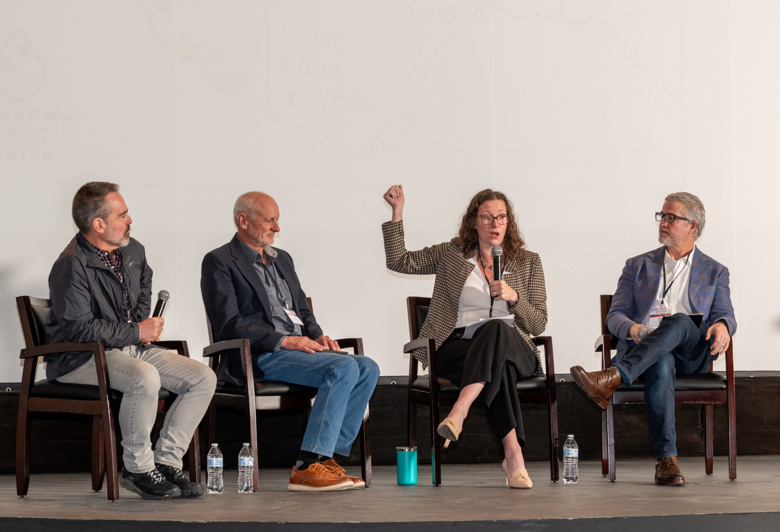
Feb. 12 – 9:45am Session
Groundwater may be hidden beneath the surface, but understanding it requires a steady flow of data — and strong partnerships among scientists, water managers and landowners.
That was the message of a panel discussion that explored how groundwater research, monitoring and modeling help communities across West Texas plan for an uncertain water future.
Moderated by John Dupnik of the Texas Water Development Board (TWDB), the session brought together state water officials, scientists and groundwater district leaders to discuss how data collection and scientific analysis shape water policy and local decision-making.
At the center of the conversation was a simple premise that Dupnik said guides the state’s water science efforts.
“Better data makes better science, better science makes better planning, and better planning makes better policy,” he said.
Dupnik opened the discussion by describing the Texas Water Development Board’s role in gathering baseline data about groundwater conditions across the state. Field staff travel thousands of miles each year to measure water levels, collect water quality samples and maintain monitoring networks.
“We kind of provide that baseline foundation of information across the state,” Dupnik said.
Those data sets include long-term groundwater measurements, automated monitoring wells and water quality sampling programs. The value of that information, he said, comes not just from individual measurements but from observing trends over time.
“The value in this data is not necessarily in a single measurement, but in the trend — what you see over time,” he said.
That long-term perspective is especially important in Far West Texas, where drought conditions have persisted for decades.
“You’ve got arid conditions on top of drought conditions,” Dupnik said, noting that the region has experienced persistent drought since about 2000. “That makes these systems challenging across the board.”
A Complex Water Landscape
Dr. Kevin Urbanczyk, senior research scientist with the Meadows Research Institute for West Texas Water at Sul Ross State University, outlined the complex groundwater and surface water systems that define the region.
He described a landscape shaped by multiple aquifers, including the Igneous Aquifer underlying Brewster, Presidio and Jeff Davis counties, along with the Edwards–Trinity Plateau Aquifer, the flow path to San Solomon springs, and several other smaller groundwater systems.”
Surface water systems such as the Rio Grande and the Pecos River are also closely tied to groundwater.
“It’s really important to recognize that surface water and groundwater are the same thing, even though we try to treat them differently,” Urbanczyk said.
Understanding how those systems interact requires extensive monitoring — from groundwater wells to streamflow measurements along the region’s rivers.
“I like to say I’ve got my finger on the pulse of the system,” Urbanczyk said. “How do you do that? You measure groundwater. You measure streamflow. You look at how water levels change.”
Scientists also conduct studies known as gain-loss analyses to determine where rivers are gaining water from groundwater sources or losing water back into the subsurface.
But groundwater research in West Texas is especially challenging because the resource is largely invisible.
“We’re talking about something underground. It’s hidden,” Urbanczyk said. “It’s very hard to understand.”
That means researchers must combine multiple types of information — including geology, well measurements and geochemical data — to develop a clearer picture of groundwater behavior.
“You have to understand your basic bedrock geology and then relate water levels that you measure in wells,” he said.
Data Gaps in Rural West Texas
Amy Bush, a hydrologist who works with Groundwater Management Area 4 and the Jeff Davis County Groundwater Conservation District, said one of the region’s biggest challenges is simply the limited amount of available data.
“Far West Texas districts are underfunded and understaffed — and they’re doing it anyway,” Bush said.
Large areas of the region have relatively few wells, which limits the number of monitoring points available to scientists and groundwater managers.
“There’s still not a whole lot of data for as large an area as we have here,” she said.
Another challenge involves building trust and relationships with landowners whose wells can provide critical information about groundwater conditions.
“It’s difficult for a strange pickup to go driving down the road looking for data,” Bush said.
In recent decades, she said, water managers have made progress building relationships with ranchers and landowners, who often have the most direct knowledge of local water conditions.
“We need to know where those springs are,” Bush said. “We need to know how deep the water is.”
Without reliable data, she added, water managers struggle to make informed decisions about long-term groundwater sustainability.
“If we don’t have enough data, we can’t have good policy,” Bush said.
Local Groundwater Management
Trey Gerfers, general manager of the Presidio County Underground Water Conservation District, offered a local perspective on groundwater management in a sparsely populated region.
When he took over leadership of the district, he said, it had limited funding and little data available to guide water planning.
“We had about $10,000 coming from the county commissioners to run our district,” Gerfers said.
Since then, the district has taken steps to improve groundwater monitoring and data collection. Voters approved a small property tax to support the district, and the organization secured grants to install monitoring equipment in wells across the county. The district now collects detailed groundwater measurements throughout the region.
“We felt like we needed to get more data,” Gerfers said. “We needed to get more funding, and we needed to start building consensus.”
That work also involves preparing for potential future water demands — even if those demands are still uncertain.
“We also recognize that something else may come along,” Gerfers said. “You don’t even know what it’s going to be.”
Planning for an Uncertain Future
Much of the discussion focused on the need for long-term planning despite uncertainty about future water demands and climate conditions.
Bush noted that groundwater planning often involves 50-year planning horizons, making it difficult to anticipate future water uses.
“We don’t know what the next big use is going to be,” she said.
Possible future demands could include new energy development, data centers, tourism growth or other industries that may require large water supplies.
Despite those uncertainties, panelists agreed that expanding scientific research and monitoring is essential to understanding and protecting the region’s water resources.
Gerfers compared groundwater management to maintaining a financial savings account.
“If you view the aquifer as a savings account, the water that’s already in there is the principal,” he said.
The goal, he said, is to understand how much new water enters the system each year through recharge — the equivalent of earning interest — and avoid withdrawing more water than the system can replenish.
“At the moment, we don’t really understand what our principal is,” Gerfers said. “And that’s why we need the data.”
Collaboration is the Key
Throughout the discussion, speakers emphasized that addressing the region’s water challenges will require collaboration among universities, groundwater districts, state agencies and private landowners.
Urbanczyk said the newly launched Meadows Research Institute for West Texas Water will play a key role by expanding scientific research and training the next generation of water professionals.
Gerfers agreed that partnerships will be essential in a region where many groundwater districts operate with limited staff and budgets.
“We’re going to have to rely on relationships with the state, relationships with each other and relationships with stakeholders,” he said.
For Bush, the solution ultimately comes down to people working together.
“The people who can solve these issues are already here,” she said. “You wouldn’t be here if you weren’t interested, concerned or invested.”
With better data, stronger partnerships and continued engagement from local communities, the panelists said, West Texas can build the scientific foundation needed to guide water management decisions for decades to come.
Sponsors and Organizing Partners
This conference session excerpt is from Water in the Desert 2026.
Water in the Desert 2026 was hosted and organized by the Meadows Research Institute for West Texas Water at Sul Ross State University.
The conference was made possible through the generous financial support of its major sponsors — Horizon Foundation, Dixon Water Foundation, and Reeves County Groundwater Conservation District — whose leadership investment ensured the event remained accessible and affordable to attendees from across the region.
Additional sponsors included Brewster County Groundwater Conservation District, Environmental Defense Fund, EHT–Enprotec Hibbs & Todd, Frontier Development Inc., Rio Grande Joint Venture, Texas Wildlife Association, and The Nature Conservancy.
The quality and depth of the program were shaped by a collaborative team of organizing partners, including Sul Ross State University, Borderlands Research Institute, Environmental Defense Fund, Rio Grande Joint Venture, Texas Water Foundation, Texas Agricultural Land Trust, Dixon Water Foundation, Texas Wildlife Association, The Nature Conservancy, Texas Parks and Wildlife Department, and Texas Parks and Wildlife Foundation.