Groundwater Conservation Districts, Desired Future Conditions, Groundwater Management Areas, and Joint Water Planning in Texas
Water in the Desert 2026
Feb. 11, 2:00 pm Session
If you’ve ever tried to follow groundwater policy in Texas, you know the alphabet soup and jargon can feel overwhelming.
GCDs. GMAs. DFCs. GMAs. Rule of Capture.
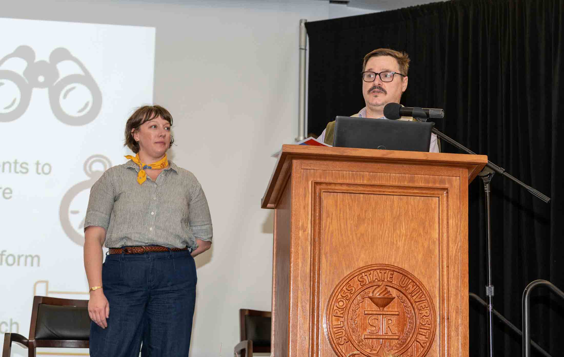
Wednesday afternoon’s session offered what one moderator called “an essential primer on GCDs, DFCs and GMAs” — but presenters made sure it didn’t feel like a law school lecture. Instead, they took the audience on a hike.
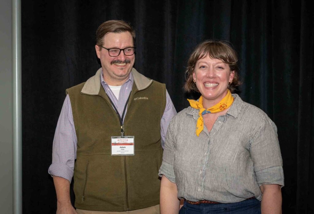
Adam Foster, Executive Director of the Texas Alliance of Groundwater Districts, and Natalie Ballew, Groundwater Division Director at the Texas Water Development Board, used the analogy of a desert trail to explain how groundwater is governed in Texas — and why local management matters so much in regions like the Trans-Pecos.
The Ground Rules: Rule of Capture
Every hike has ground rules.
In Texas groundwater law, that rule is the Rule of Capture — a common law doctrine that allows a landowner to pump groundwater beneath their property, even if it impacts a neighbor, so long as there is no waste or malice.
Foster described it plainly: landowners own the groundwater beneath their property (unless severed), but not a guaranteed amount. Where groundwater conservation districts exist, they can modify — though not eliminate — the Rule of Capture through spacing rules, production limits, and permitting requirements.
And that matters because groundwater supplies more than 60 percent of Texas’ water needs, disproportionately serving rural communities and regions where surface water is fully allocated.
In Far West Texas, it is not supplemental. It is foundational.
Trail Guides: Groundwater Conservation Districts
If Rule of Capture sets the terrain, groundwater conservation districts — GCDs — serve as trail guides.
Texas has 98 GCDs, the state’s preferred method of groundwater management. They are locally governed political subdivisions, typically led by ranchers, farmers, and water users who understand the hydrology and pressures of their region.
Foster walked through the “tools” districts use:
- Permitting and reporting systems to track wells and production
- Management plans tailored to local hydrology
- Monitoring networks and groundwater models
- Curtailment authority when pumping threatens long-term goals
- Education, outreach, and conservation programs
Every district must manage toward a Desired Future Condition, or DFC — a quantified goal for what the aquifer should look like roughly 50 years into the future.
But as Foster emphasized, local control means local differences. Districts overlying the same aquifer and participating in the same groundwater management area will often adopt similar rules, but no two are identical.
Hydrology differs. Politics differ. Pressures differ.
Planning Together: GMAs and Desired Future Conditions
Ballew expanded the analogy to explain how districts coordinate across boundaries.
Groundwater Management Areas — GMAs — group districts overlying the same major aquifer systems. There are 16 statewide, aligned largely along aquifer boundaries. Within these GMAs, districts meet at least annually and every five years formally reassess their Desired Future Conditions.
A DFC is the “destination” on the hike.
Typically expressed as allowable drawdown over 50 years, DFCs are policy goals that must consider nine statutory factors, including aquifer uses, environmental impacts, property rights, feasibility, subsidence, socioeconomic effects, and alignment with the State Water Plan.
From there, the Texas Water Development Board applies groundwater availability models to calculate Modeled Available Groundwater — the amount that can be pumped while still achieving the DFC.
It is not a hard cap. It is, as Ballew described, a compass — a directional tool to ensure districts are generally headed toward their long-term goals.
The Hard Questions
The most animated part of the session came during audience questions.
One hydrologist raised concerns about explosive population growth in Central Texas, particularly in Bastrop County, arguing that growth is outpacing projections and challenging the long-term viability of existing DFCs.
Ballew responded that DFCs are revisited every five years and can be adjusted. They are policy goals, not immutable limits.
Another attendee asked about the so-called “white areas” — counties without groundwater conservation districts.
Foster did not hesitate: effective statewide groundwater management, in his view, requires coverage everywhere. Currently, GCDs are the only statutory mechanism for groundwater management in Texas. He noted that the Legislature is likely to revisit the issue of unregulated areas in the upcoming session.
A final question focused on the Texas Panhandle and the Ogallala Aquifer, where districts are widely understood to be managing decline rather than preventing it. Foster acknowledged the reality: recharge is extremely slow, and management strategies focus on slowing depletion while balancing statutory requirements to allow maximum practicable production alongside conservation.
It was a sobering reminder that groundwater policy is often about trade-offs, not perfection.
Why This Matters Here
For a West Texas audience, this session was not theoretical.
The Trans-Pecos relies heavily on groundwater. It sits within defined groundwater management areas. Its districts are actively setting DFCs that will shape what water availability looks like decades from now.
Understanding the framework — who makes decisions, how they coordinate, what tools they use — is essential for landowners, municipalities, and conservation partners alike.
If earlier sessions at Water in the Desert focused on the science beneath our feet, the 2:00 p.m. conversation clarified the governance above it.
Groundwater may ignore political boundaries. But in Texas, its management depends on them.
Sponsors and Organizing Partners
This conference session excerpt is from Water in the Desert 2026.
Water in the Desert 2026 was hosted and organized by the Meadows Research Institute for West Texas Water at Sul Ross State University.
The conference was made possible through the generous financial support of its major sponsors — Horizon Foundation, Dixon Water Foundation, and Reeves County Groundwater Conservation District — whose leadership investment ensured the event remained accessible and affordable to attendees from across the region.
Additional sponsors included Brewster County Groundwater Conservation District, Environmental Defense Fund, EHT–Enprotec Hibbs & Todd, Frontier Development Inc., Rio Grande Joint Venture, Texas Wildlife Association, and The Nature Conservancy.
The quality and depth of the program were shaped by a collaborative team of organizing partners, including Sul Ross State University, Borderlands Research Institute, Environmental Defense Fund, Rio Grande Joint Venture, Texas Water Foundation, Texas Agricultural Land Trust, Dixon Water Foundation, Texas Wildlife Association, The Nature Conservancy, Texas Parks and Wildlife Department, and Texas Parks and Wildlife Foundation.